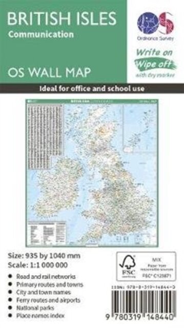
British Isles Communication
15,90 €
Envío en 4/5 dias
Información del producto
| ISBN | 9780319148440 |
|---|---|
| Editorial | Ordnance Survey |
| Precio (sin IVA) | 15,00 € |
| Impuestos | 0,90 € |
| Precio (IVA incluido) | 15,90 € |
| Disponibilidad | +20 Unidades En almacén externo |
Descripción del producto
This map shows the British isles, with all the major road, rail and sea connections. It is supplied rolled in a tube and is ideal for schools, students or just for decoration. It includes an index of place names. This map is gloss coated, so can be written on with suitable dry-wipe pens. It's scale is 1: 1 000 000