World War I Illustrated Atlas
€30.90
Shipping in 4/5 days
Product Information
| ISBN | 9781838863548 |
|---|---|
| Publisher | Amber Books Ltd |
| Price (excl. tax) | €29.15 |
| Tax | €1.75 |
| Price (incl. tax) | €30.90 |
| Availability | 2 units in external warehouse |
Product Description
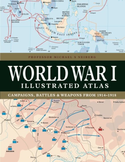
WWI was a complex conflict: an air war, a land war fought in the Balkans, NW Europe, Italy, Africa, Turkey and the Middle East, and a naval war in the North Sea, South Atlantic, South Pacific and Indian Oceans. Including over 180 detailed maps, World War I Illustrated Atlas is an invaluable reference guide to this global war.